Resilient By Design
TEAM PUBLIC SEDIMENT
2018
In May of 2017, community members spanning all 9 Bay Area counties and 10 Design Teams made up of local and international architects, engineers, ecologists and other experts, embarked on a yearlong Challenge to address the looming threat of climate change in the Bay Area.

Unlocking Alameda Creek. Graphic by SCAPE Studio (2018).

Elevation map of the Alameda Creek watershed (Fremont, Union City, Newark area). I made this map using GIS. The map was used to create a model used for community engagement events (see below).

From the elevation map, I created a laser cut model (30”x30”) of the western part of the Alameda Creek watershed.
In this project we asked the following questions:
Could we come up with innovative solutions to sea level rise and resilience related issues?
Could we be proactive in this approach to protect our communities before a disaster strikes?
PUBLIC SEDIMENT is a multidisciplinary design team that views sediment as a core building block of resilience in San Francisco Bay. The team is led by SCAPE Landscape Architecture with Arcadis, the Dredge Research Collaborative, TS Studio, the UC Davis Department of Human Ecology and Design, the UC Davis Center for Watershed Sciences, and the Buoyant Ecologies Lab. I assisted with the community engagement portion with the UC Davis Department of Human Ecology and Design. Our team focused on proposing a design for the Alameda Creek watershed in Fremont, Union City, and Hayward.
Our team believes in ecological infrastructure and its protective value. Yet the Bay Area’s ecological infrastructure- its marshes, mudflats, and coastal edges- are at risk. The slow and methodical subsidence of the Bay’s tidal wetlands is a catastrophe of tremendous proportion not just for ecosystems, but for communities. Combined with sea level rise, this subsidence exposes hundreds of thousands of residents and the region’s critical drinking water, energy, and transportation infrastructure to tremendous risk. To creatively adapt to this challenge, our team proposes to focus on sediment, the building block of resilience in the Bay. In short, we propose to design with mud.
The UC Davis team focused on engaging the community. Using GIS and Illustrator I created the topographic map to show the flood prone areas (areas in purple and pink). This map was then used to make a laser cut model which was brought to community sustainability events. We asked community members their travel path through Fremont, Union City, and Hayward. As people engaged with the model we discussed their knowledge, perspectives, and engagement with Alameda Creek.
Key findings:
The biggest hurdles to engaging with the creek is safety, access, and aesthetics.
Alameda Creek is physically and visually disconnected from the surrounding community, but there is a desire to reconnect and engage more with the creek.
To read more about this project, visit the Public Sediment website.

Pink rubberbands were used to show flow of movement.


Model at Earth Day at Fremont (top) and Farmers Market in Union City (bottom) in May 2018.
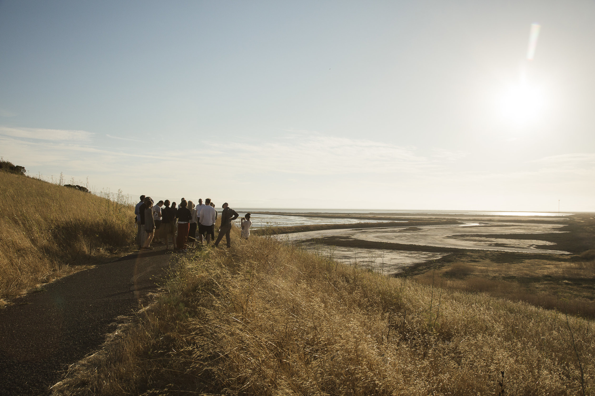
Team Public Sediment giving a tour of the Alameda Creek Eden Landing Ecological Reserve to the Van Alen Institute Climate Council (July 2018).